Top Landmarks in Sayreville

Sayreville, New Jersey does not announce itself the way larger cities do. There is no single iconic skyline structure or a famous square that ends up on postcards. What the borough offers instead is something harder to replicate: a layered identity built from river clay, industrial ambition, working-class neighborhoods, and a surprising thread of rock-and-roll history. Spread across Middlesex County with a population of roughly 45,000 residents, Sayreville sits where the Raritan River meets its wide tidal approach to the bay, and that geography is the key to understanding almost every landmark worth visiting here.
If you are planning a trip or building out an itinerary, the Sayreville Travel Guide: Things to Do, Landmarks, Food, and Itineraries is a useful starting point. This page focuses specifically on the places that define the borough's character and why each one is worth your time.
The Raritan River
The Raritan River is arguably the defining physical landmark of Sayreville. It forms the borough's northern and northwestern boundary, and for most of Sayreville's history it was the reason the town existed at all. The river provided both raw materials and transportation routes for the clay and brick industries that dominated the area from the mid-nineteenth century into the twentieth.
Today the Raritan functions as an outdoor corridor. The riverbanks offer views across to South Amboy and Perth Amboy, and the tidal stretches bring seasonal birdlife and small watercraft. For anyone who wants to understand why Sayreville developed where it did, spending time along the river makes everything else fall into context. Access points vary, so checking current local parks information before heading out is worth the few minutes.
The Raritan is also part of a broader regional greenway network, and connections to trails in neighboring municipalities mean that a single afternoon can cover a surprising amount of ground on foot or by bike.
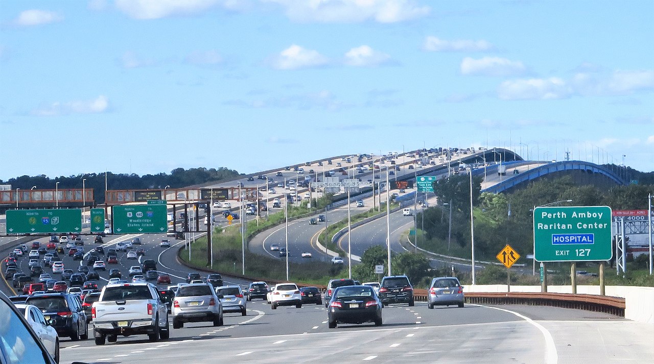
Raritan Bay and the Morgan Waterfront
Where the Raritan River broadens and spills into Raritan Bay, the character of Sayreville shifts. The Morgan section of the borough — named for the village that once stood here — sits along this southern waterfront and has a distinctly different feel from the inland neighborhoods. The bay views are open and expansive, looking south toward Staten Island and east toward the Atlantic coast.
This area carries a complicated recent history. Hurricane Sandy struck the Sayreville waterfront hard in 2012, and the Morgan neighborhood was among the most affected communities along this stretch of New Jersey's shore. Visiting today, you can see both the resilience of what was rebuilt and the quieter spaces where previous structures once stood. That tension between past and present gives the Morgan waterfront a character that is genuinely worth understanding, even if — or especially because — it does not fit a tidy tourist narrative.
The proximity to Raritan Bay also places Sayreville within reach of the broader network of national and state recreational resources that line this part of the New Jersey coast. The National Park Service maintains sites throughout the region, including units of the Gateway National Recreation Area not far to the east, though visitors should verify access and any relevant guidelines directly with NPS before planning a visit.
Sayreville War Memorial High School
No landmark in Sayreville carries more cultural weight with visitors from outside the borough than Sayreville War Memorial High School. The school sits in the heart of the residential borough, and for the casual visitor it looks much like any other mid-size public high school in suburban New Jersey. What distinguishes it is the fact that Jon Bon Jovi — born John Bongiovi Jr. — graduated from here in 1980.
For fans of classic American rock, this is a genuine point of pilgrimage. The connection is well-documented and locally celebrated; Sayreville takes its status as the hometown of one of the most commercially successful rock acts of the 1980s and 1990s seriously. The school itself is an active educational institution, so visitors exploring the exterior should be respectful of school hours and activities. The neighborhood around the school is a pleasant, quiet stretch of residential streets that reflects the middle-class suburban character that runs throughout the borough.
This cultural landmark also provides a useful anchor for understanding Sayreville's demographics. With a median household income of around $98,600 and a median age near 40, the borough is solidly working-to-middle-class, a profile consistent with the kinds of communities that produced rock musicians who wrote explicitly about small-town American ambition in the 1980s.
The Clay and Brick Heritage
Sayreville's industrial identity is inseparable from clay. The region sits atop some of the finest clay deposits on the East Coast, and starting in the 1800s that resource drove a brick and terra cotta manufacturing industry that helped build New York City. The brownstone and brick facades that define entire neighborhoods of Manhattan have physical origins in the yards and kilns that once lined the Raritan River in Sayreville and neighboring communities.
Most of the active industrial infrastructure is long gone, replaced by residential development, commercial strips, and open land, but the legacy shows up in small ways throughout the borough. Historic brick structures still dot the older parts of Sayreville, and local historical organizations maintain records and occasional exhibits on the era. Checking in with the Sayreville Historical Society — and confirming current exhibition hours before a visit — is the best way to get a structured look at this industrial chapter.
Understanding the clay heritage also reframes everything else in Sayreville. The river's location, the layout of the original neighborhoods, the borough's working-class economic identity — all of it traces back to what the land beneath the town was made of.
How the Landmarks Cluster
One useful feature of Sayreville's geography is that the major landmarks are spread around a relatively contained area. The Raritan River waterfront and the Morgan section of Raritan Bay form two anchors at opposite ends of the borough — north and south — while the residential interior holds the high school and the surviving traces of the industrial era.
A reasonable visit starts at the river in the north, following the bank access points east before cutting south through the older residential streets where brick-era buildings are still visible. The high school sits roughly in the middle of the borough, and from there it is a short drive south to the Morgan waterfront and Raritan Bay. The whole circuit by car takes under an hour; stretching it into a walking and driving combination with stops for photos and exploration fits comfortably into half a day.
For a structured version of this circuit, the Sayreville 1-Day Itinerary lays out a full day's worth of stops, and the Sayreville 3-Day Itinerary extends the exploration into neighboring parts of Middlesex County and the Raritan Bay shoreline.
Nearby State and National Recreation
Sayreville sits within easy reach of Cheesequake State Park in neighboring Old Bridge Township, one of the more accessible and ecologically varied state parks in central New Jersey. The park covers a range of habitats — salt marsh, freshwater marsh, upland forest, and Atlantic coastal plain — that make it appealing to hikers, kayakers, and naturalists. It is close enough to serve as a natural extension of a Sayreville visit. Check the New Jersey State Park Service website for current hours, permit requirements, and any seasonal conditions before heading over.
The broader region also falls within the orbit of Gateway National Recreation Area, an NPS unit that spans parts of New Jersey and New York along the lower harbor. Specific access points, fees, and hours should be confirmed directly on the NPS website before planning a visit, since conditions and policies at any specific unit can change.
Practical Notes for Visitors
Sayreville is most easily reached by car, and parking throughout the borough is generally straightforward by New Jersey standards. For visitors coming from New York City, NJ Transit operates bus and rail connections into central New Jersey; checking the current schedule and fare information on the NJ Transit website is the best way to plan a transit-based visit. Contactless payment is widely accepted on NJ Transit services.
The borough's roughly 950 restaurants and cafes range from classic New Jersey diners to South Asian and Latin American options reflecting the area's demographic diversity. For an overview of the dining landscape, the Where to Eat in Sayreville guide covers the main corridors and neighborhood options.
Weather in central New Jersey varies considerably by season. Late spring and early fall tend to offer the most comfortable conditions for walking the waterfront areas, while summer brings humidity and occasional storm activity from the coast. The Best Time to Visit Sayreville page breaks down the seasonal tradeoffs in more detail.
For common questions about visiting the area, the Sayreville FAQ and the Best Things To Do in Sayreville page together cover most of what first-time visitors need to know before arriving.