Top Landmarks in San Bruno
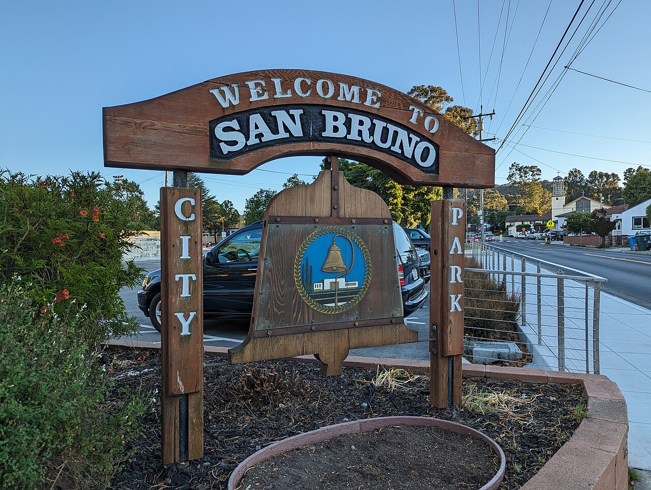
San Bruno sits on the San Francisco Peninsula, wedged between the bay flats near San Francisco International Airport and the ridgeline of San Bruno Mountain. That geography shapes nearly everything worth seeing here: the city's landmarks split neatly into a natural/historic cluster on the higher ground to the north and west, and a commercial-and-transit cluster closer to El Camino Real and the BART corridor. For visitors piecing together a broader itinerary, this page works well alongside the San Bruno Travel Guide and the Best Things To Do in San Bruno for a fuller picture of the area beyond these standout sites.
San Bruno Mountain State and County Park
San Bruno Mountain is the physical anchor of the city and its most recognizable feature from almost anywhere nearby. The park covers a large stretch of open grassland and coastal scrub rising above the surrounding neighborhoods, with a network of trails that loop around the summit ridge. It's a well-known destination for hikers and for anyone interested in native plant communities, since the mountain supports habitat for several protected butterfly species found in few other places in the region. On clear days, the ridgeline trails offer wide views across the bay toward San Francisco, the East Bay hills, and, depending on the vantage point, out toward the Pacific. Because the park spans a large elevation range, casual walkers tend to stick to the lower loop trails near the main entrances, while more experienced hikers push toward the summit routes. As with any hillside park, trail conditions and access points can shift with weather and maintenance, so it's worth checking the official park listing before heading out.

Golden Gate National Cemetery
Just below the mountain's western slope, Golden Gate National Cemetery is one of the most visited historic sites associated with San Bruno. It serves as a national veterans' burial ground, with rows of uniform white markers spread across landscaped grounds that draw visitors interested in military history and remembrance. The cemetery is open to the public for quiet visits and is commonly included on lists of notable Bay Area historic sites given its scale and setting at the base of San Bruno Mountain. Because it functions as an active national cemetery, visitors are generally expected to observe standard cemetery etiquette, and any questions about visiting logistics are best directed to the official cemetery information rather than general guides.
Sweeney Ridge
On San Bruno's southern edge, Sweeney Ridge is a less commercial but historically significant landmark, known primarily as the site where a Spanish expedition led by Gaspar de Portolá is credited with the first documented European sighting of San Francisco Bay in 1769. The ridge is part of the Golden Gate National Recreation Area and connects to the broader Juan Bautista de Anza National Historic Trail, making it a point of interest for those tracing early California exploration history. Reaching the ridge typically involves a moderate hike along fire roads and trails rather than a drive-up visit, so it appeals more to hikers than casual sightseers. Trail access points sit near the boundary with neighboring communities, and conditions or closures can change, so checking current trail status ahead of a visit is worthwhile.
The Shops at Tanforan and the Tanforan Site
Closer to downtown, the site now occupied by The Shops at Tanforan carries layered history. The property was once home to Tanforan Racetrack, a well-known horse racing venue in the early twentieth century, and later served as a temporary detention site for Japanese Americans during World War II before their forced removal to inland incarceration camps. A historical marker and memorial elements on the property acknowledge this history, making the shopping center more than a retail stop for visitors interested in twentieth-century California history. Its central location near El Camino Real and the BART/Caltrain corridor also makes it a practical, walkable reference point when combining landmarks with meals or errands; the Where to Eat in San Bruno page covers dining options in this same part of the city.
San Francisco International Airport
While the airport's terminals and address are generally associated with San Francisco, much of San Francisco International Airport's runway and bayfront footprint sits immediately adjacent to San Bruno, and the airport is a defining feature of the city's eastern skyline and soundscape. Aviation enthusiasts sometimes note the area's aircraft-watching spots along the bay trail near the runways. It's a functional landmark rather than a sightseeing destination in the traditional sense, but its presence explains a good deal of San Bruno's layout, traffic patterns, and hotel density near the eastern edge of town.
Combining the Landmarks on Foot
Because San Bruno Mountain and Golden Gate National Cemetery sit close together along Sneath Lane, they pair naturally into a single half-day outing on foot or with short driving connections between trailheads and the cemetery entrance. Sweeney Ridge, by contrast, is better treated as a separate hiking excursion given the elevation gain and trail distance involved. Tanforan and the surrounding downtown blocks form their own walkable cluster, well suited to an afternoon that mixes history with food and shopping. Visitors building a full day or multi-day plan around these clusters may find the San Bruno 1-Day Itinerary or the more spread-out San Bruno 3-Day Itinerary useful starting points, and can check the Best Time to Visit San Bruno page for guidance on seasonal trail and weather conditions before setting out.
If you're getting around by public transit, San Bruno is served by regional buses and a BART station, and most local systems now support contactless tap-to-pay; check the relevant transit agency's site for current routes and any fare details before you travel. For additional practical questions about visiting, the San Bruno FAQ rounds out logistics not covered here.