Top Landmarks in Danville
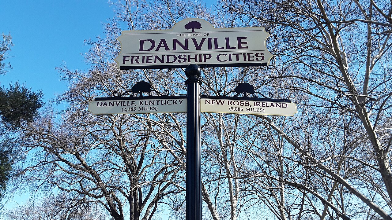
Danville, California sits in the San Ramon Valley at the base of Mount Diablo, and its landmarks reflect that setting: a compact, walkable downtown built around a former railroad depot, a hillside ranch once owned by a Nobel Prize-winning playwright, and open space that climbs toward one of the East Bay's most recognizable peaks. For visitors piecing together a first visit, this guide groups the landmarks by location and explains how they connect, so a trip can be planned around a short walk downtown plus a couple of longer stops nearby. For a broader overview of the town, the Danville Travel Guide: Things to Do, Landmarks, Food, and Itineraries is a good starting point before diving into specifics.
Downtown Danville: The Walkable Core
Most of Danville's most recognizable spots cluster in and around downtown, centered on Hartz Avenue. This stretch developed as the town's commercial spine after the Southern Pacific Railroad came through in the late 1800s, and the historic storefronts, brick facades, and mature street trees still give the area a distinct small-town character that's popular with residents and visitors alike.
Railroad Avenue and the Southern Pacific Depot area mark the historic heart of town. The old depot building now houses the Museum of the San Ramon Valley, which focuses on local and regional history, and the surrounding grounds are a reminder of Danville's origins as a rail stop serving the valley's ranching and farming communities. The surrounding blocks retain some of that early-20th-century layout even as they've filled in with shops and restaurants.
The Village Theatre and Art Gallery, housed in a former church building on Front Street, is a well-known fixture downtown. It hosts community theater performances and gallery exhibits, and its architecture and central location make it a natural stop on a downtown walk.
The Danville Clock Tower, a prominent structure along Hartz Avenue, functions as an informal landmark and meeting point for locals. It anchors the pedestrian-friendly stretch where most of the shops, cafes, and public art are concentrated.
Because these sites sit within a few blocks of each other, downtown is best explored on foot. Combined with nearby dining options covered in Where to Eat in Danville, this area alone can fill a relaxed morning or afternoon.
Eugene O'Neill National Historic Site
A short drive into the hills above Danville sits the Eugene O'Neill National Historic Site, one of the National Park Service units associated with the region and among the more distinctive landmarks connected to the city. The site preserves Tao House, the hillside ranch where playwright Eugene O'Neill lived and wrote several of his major late works, including *Long Day's Journey Into Night*. The setting, with views across the valley toward Mount Diablo, is part of what makes the property notable, along with its direct link to a significant figure in American theater. Because access to the site involves specific logistics that can change, including required shuttle reservations, it's worth checking the National Park Service's official page (nps.gov/euon) for current visiting information before planning a trip out.
Mount Diablo State Park
Rising to the east of the valley, Mount Diablo is the visual anchor of the entire San Ramon Valley, and its slopes are commonly associated with Danville even though the summit and much of the park lie in neighboring jurisdictions. The mountain is a popular destination for hiking, and on clear days the summit area offers expansive views that stretch across much of Northern California. For travelers based in Danville, Mount Diablo State Park is typically treated as a half-day or full-day excursion rather than a stop on a downtown walk, given the drive and elevation gain involved. As with any state park, trail conditions and access points are worth checking on the official park site ahead of a visit.
Blackhawk Museum
A few miles from downtown, in the Blackhawk area, the Blackhawk Museum is a well-known regional attraction built around a notable collection of classic and vintage automobiles, along with rotating exhibits on design and natural history. It is often paired with a stop at the adjacent Blackhawk Plaza shopping area. Because it sits outside the downtown core, reaching it typically requires a short drive rather than a walk.
The Iron Horse Regional Trail
Running along a former rail corridor, the Iron Horse Regional Trail passes through Danville and connects it to neighboring towns in the valley. While not a single "landmark" in the traditional sense, the trail is a widely used piece of local infrastructure for walking and biking, and it offers a useful way to move between parts of town without a car, including access points near downtown.
Planning a Landmark Walk
The most efficient way to see Danville's landmarks is to treat downtown as a self-contained walking loop and everything else as a separate driving stop. A morning downtown covering the Clock Tower, Village Theatre, and Railroad Avenue area pairs naturally with lunch nearby, while Eugene O'Neill National Historic Site, Mount Diablo, and the Blackhawk Museum each work better as standalone half-day trips given their distance from the town center. For a structured plan, the Danville 1-Day Itinerary lays out a condensed version of this approach, while the Danville 3-Day Itinerary has room to fit in all of the sites above without rushing. If timing is a concern, Best Time to Visit Danville covers seasonal considerations that can affect outdoor stops like Mount Diablo, and the Best Things To Do in Danville page rounds out the picture with activities beyond the landmarks themselves. Common logistical questions are addressed in the Danville FAQ.
As with any populated area, ordinary urban awareness applies when walking downtown in the evening or parking near trailheads, and visitors should check official sites for current details on any site-specific access requirements before heading out.